


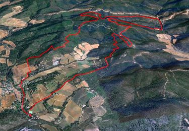
14,3 km | 19,8 km-effort


Utilisateur


Application GPS de randonnée GRATUITE
 SityTrail
IGN / Instituts géographiques
SityTrail World
Le monde est à vous
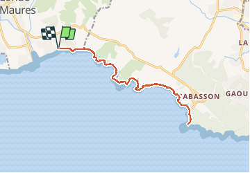
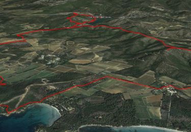
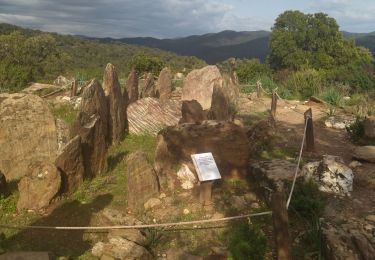
Randonnée Marche de 19 km à découvrir à Provence-Alpes-Côte d'Azur, Var, La Londe-les-Maures. Cette randonnée est proposée par jovalente.
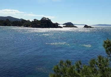
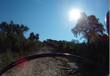
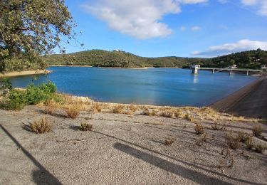
Sentier littoral Aller Retour de La Londe-les-Maures au Fort de Brégançon. Départ parking de l'Argentière (parking gratuit )
Marche
Marche
Marche
Marche
Marche

Marche
Marche
Marche
Marche